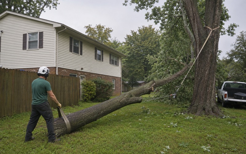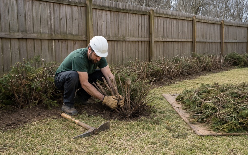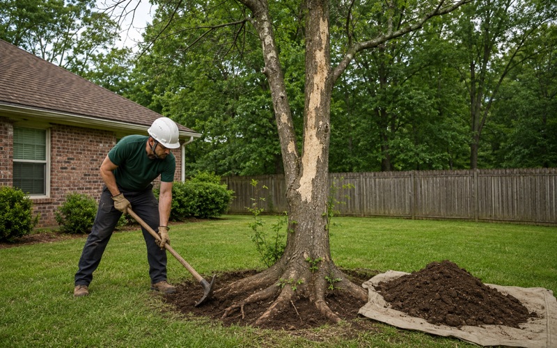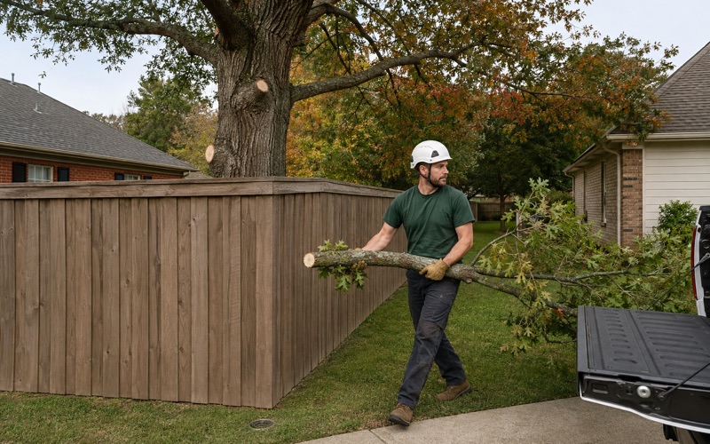
Madison Tree Removal Pros has spent more than twenty years on tree removal in Hazel Green and across the rest of the Tennessee Valley, and the estimate we leave behind is built to be held up against somebody else’s. The takedown gets one line, the stump gets a second, and getting the wood off the property gets a third. Whether the haul is included is written out in plain words rather than implied by a total.
Price follows the way in, so the way in is what we measure first. Gate width, the distance a round has to travel to the truck, the room available to put a limb down, and whether the chipper can be parked anywhere useful all go on paper before a figure does. Where the rounds are worth keeping, the firewood credit is shown both ways on the same sheet: cut and stacked where they fell, or loaded and gone.
On a parcel out here, though, one question usually comes ahead of all of that, and it has nothing to do with saws. It is a question about exactly where the line runs. In this community, the answer to it is a roadside landmark.
Whose tree it is, and how the line actually gets proved
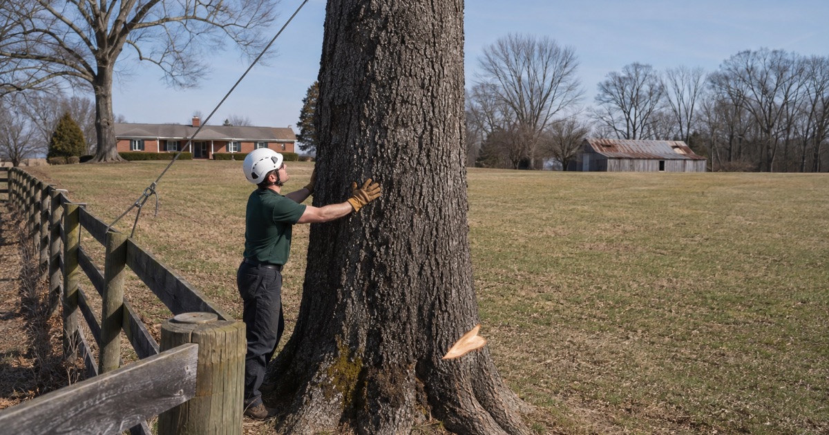
A removal here is a boundary question before it is a cutting question. Who authorizes the work, who pays for it and what may be done with a limb that reaches across all follow from where the line falls, and on a large rural lot an old fence and the recorded line are frequently two different things.
The grid that starts at Hunter Road
The reference for that answer sits a few minutes up the highway. At the intersection of Huntsville Highway, US-231/431, and Hunter Road stands the Initial Survey Point marker, which records that Major Thomas Freeman, Deputy United States Surveyor, established a marker here on the Tennessee state line and began surveying south toward the middle of the state. In the marker’s own words, “The line, known as the Huntsville Meridian, is the reference for all property surveys in North Alabama.”
The marker gives the year as 1809 while other published accounts put Freeman’s work at 1807, so we treat the date as disputed and the line itself as the part that matters. Running from that meridian, with the southern boundary of Tennessee as its base line, the system divides the ground into 36 one-mile-square sections of 640 acres each, indexed by town and range. Nearly every deed description in this part of the state counts back to that origin.
The Initial Point was reset in 1977 by the Alabama Society of Professional Land Surveyors, then paved over within about ten years, and it now lies under the middle of the highway where nobody can see it. The interpretive marker is still at the intersection. Standing on the shoulder there, you are looking at the origin of your own legal description, which is worth remembering the next time somebody tells you from memory where the property ends.
What we do about it, and what we do not
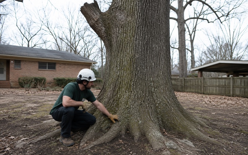
We do not survey, and we will not pretend that a tape and a fence post settle anything. What we do is read the plat and the description you already have, walk the line with you, and write down what we find on the ground: where the trunk stands relative to that line, how far the crown reaches past it, and what condition the tree is in.
That document is what earns its keep when a boundary is in dispute. A written condition and risk assessment names the defects, whether that is a decay column, included bark at a co-dominant union, a root flare buried under years of added grade or a conk at the base, and states what the tree would hit if it came apart. We price it as its own deliverable rather than burying it in a sales visit, because an insurer or a neighbor needs a document rather than a recollection. Where a trunk straddles the line, every owner’s authorization is in hand in writing before a rope goes up.
Looking for tree-removal closer to Hartselle? See Tree-Removal in Hartselle.
What a utility easement lets a crew do that you cannot
The second line crossing a rural parcel here is not a neighbor’s, it is a utility’s. Huntsville Utilities distributes electricity in this area, and its own scheduled upgrade work in northern Madison County named Joe Quick Road, Greenville Pike, State Line Road, Spring Tanner Road and Walnut Grove Road among the roads affected, which is first-party confirmation of whose territory these parcels sit in. Sitting on the state line changes none of that, and no Tennessee authority governs a lot in this community. Inside a recorded easement, the utility holds rights over vegetation that the owner of the ground underneath does not.
The clearance program, and the wire it leaves out
On its own distribution lines the utility clears at no cost to the customer, trimming naturally to laterals as an ISA recommended practice. Where it removes a street-side tree itself, the program covers grinding all of the stumps that removal produces and offers a one-for-one replacement voucher for up to three trees at participating local nurseries, with debris disposal left to the property owner. None of that is available on request for a tree standing behind the house.
The span the program leaves out is the one most likely to have a limb resting in it. Huntsville Utilities’ published position places responsibility for clearing the pole-to-house service wire entirely on the customer, and that single answer decides who pays for a very common job on this housing stock. Nobody on our crew touches that span until the drop is disconnected, and arranging the disconnect is ours to handle rather than the homeowner’s. Line clearance takes questions at 256-535-1224 or trees@hsvutil.org, and a downed conductor or an outage is 256-53-LIGHT (256-535-4448).
Digging where somebody else holds rights
An easement changes what happens below grade as well. Alabama’s One-Call statute requires notice of intent to excavate at least two but not more than 10 working days before work begins, valid for 20 working days from the proposed start date and renewable at least two working days before it expires. Its exemption for a person excavating on their own property or easement applies only where no other operator has facilities in the ground there, which is precisely the condition a recorded utility easement fails.
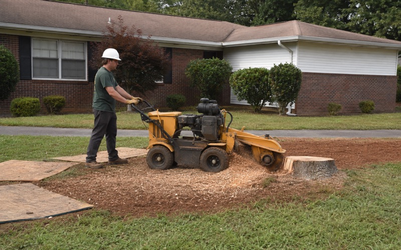
Stump grinding is named nowhere in that statute, in either direction. We file the notice anyway wherever a stump sits within reach of a lateral, because the locate costs nothing and the alternative is somebody else’s cable.
Older stock on big parcels, and the point where it turns into a crane job
The housing here is older than what has gone up on the census-designated places south of it. ACS 2024 five-year estimates count 1,540 housing units in Hazel Green, 32.0 percent of them built before 1980 and 88.8 percent one-unit detached, with owner occupancy at 87.5 percent and 1,107 owner-occupied detached single-family homes. Trees left standing or planted when those houses went up have had four decades and more to become whatever they are now.
The uplands read as Eastern Highland Rim, which is oak and hickory country with redcedar holding the shallow ground over limestone. Big acreage and old stock combine into one recurring problem: a full-sized tree close enough to the roof to matter, with all the open ground in the world sitting uselessly on the far side of the house.
The machine is the method
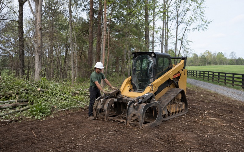
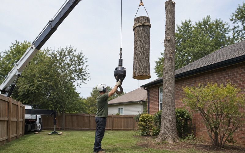
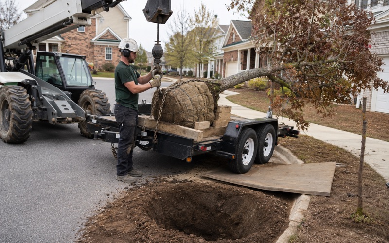
Anything standing over a structure gets crane or tracked-lift capacity, so the weight is picked up and carried clear instead of being lowered past the thing we were hired to protect. Where a fence line, a drive or soft ground rules out a bucket truck, a narrow-access tracked lift goes through the gate instead. That choice is a line you can read on the estimate, because on this stock it moves the price further than trunk diameter does.
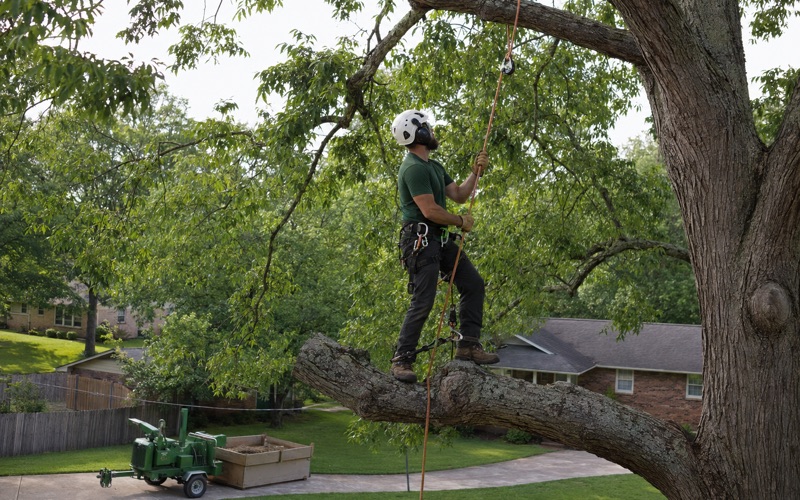
Where no drop zone exists, the stem comes apart in sections, each piece weighed against the working load limit of the gear carrying it. ANSI Z133 governs what a crew may do near an energized conductor, and in wind or ice it is the standard that stops a job rather than the weather.
Water at one edge, a campus at another
Hazel Green covers 10.05 square miles at an elevation of 784 feet, and the Flint River runs along its northeast edge. A parcel backing onto that bottom ground is an access decision before it is a tree decision, because the route that will carry a loaded chip truck in a dry week will not carry it after a wet one, and a crane needs a setup pad it can trust. We look at the way in as it will be on the day of the work, not as it looks on the estimate visit.
The other boundary worth naming is institutional. Hazel Green High School is a Madison County Schools campus, and where a residential parcel meets school ground the owner on the far side of that line is a public agency with an approval process of its own. We establish which side a leaning trunk stands on before the conversation goes any further, and nothing on the far side gets touched.
Debris and stumps on an unincorporated parcel
Nothing municipal reaches a lot in Hazel Green. It was incorporated on June 15, 1821 with a population of 400, went unincorporated again in the mid-1800s, and returned to the census in 1980 as a census-designated place, so no city tree ordinance, landscape rule, brush schedule or removal permit applies here at all. The governing body is the Madison County Commission, and this community’s services run through its District 1 office at 256-828-0726.
What the county enforces is building code rather than tree rules. The 2018 International Residential Code with local amendments has applied since January 2021 under a Residential Construction Resolution, and no county zoning ordinance limits construction projects in the unincorporated area. The stormwater rule is not a tree rule either: land disturbance of one acre or more, or less where it is part of a development or sale of one acre or more, operates under ADEM General NPDES Permit No. ALR100000, and taking a tree off a finished residential lot does not by itself trigger it.
Where the wood actually goes
The wood is the part that surprises people. District 1’s published large-debris rules say it does not pick up debris generated by contractors, and tree stumps are named among the items it will not collect. A pile left at the road after a contracted job therefore stays there until somebody pays to move it, which is why the haul is its own line on our estimate instead of an assumption folded into a total. Grindings, chips and rounds go on the truck or stay on the property, whichever you choose.
One species with a rule of its own
Ash carries a restriction the rest of the canopy does not. The Alabama Forestry Commission identified the emerald ash borer in Madison County on 6/6/2025 after investigating reports of dying ash trees, and the state quarantine reaches ash logs, stumps, roots, branches and chips that have not been ground small enough to destroy the insect, along with hardwood firewood of all species. There are no restrictions on moving regulated material solely within a regulated area, and the commission’s guidance is that infested ash cut down should preferably be burned or destroyed on site to slow the insect’s spread. On an ash, we settle where the wood is going before the tree is on the ground rather than after.
- 20+ Years in the Tennessee Valley
- Free Written Estimates
- Crane and Narrow-Access Equipment